.jpg)
We have been learning so much about early Portland history. We learned how Portland got its name, and a little bit about the early settlers. As we learn how Portland has changed, our classroom map changes.
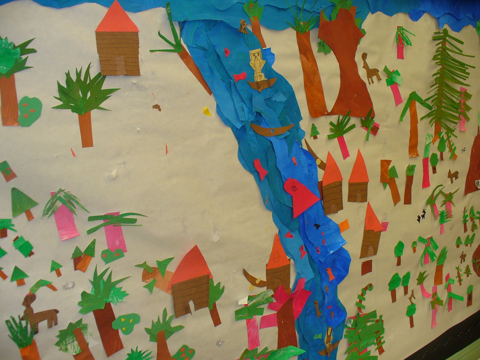
The early Native Americans gathered on the river bank in an area called the Clearing. It had good access to the river, and was an overall great place to live. As more explorers and settlers came out west, they also settled in the clearing. The started cutting down the forests and trees, and building a city. Eventually, they started docks so that ships would stop at the new Portland port. Roads were built to move good and supplies to and from the riverfront.
After we read our Portland book, and discussed how the city changed, we decided as a class what we needed to do to make our map reflect this new information.
Here is a picture of the clearing.....(we moved the Native American village that had been there)
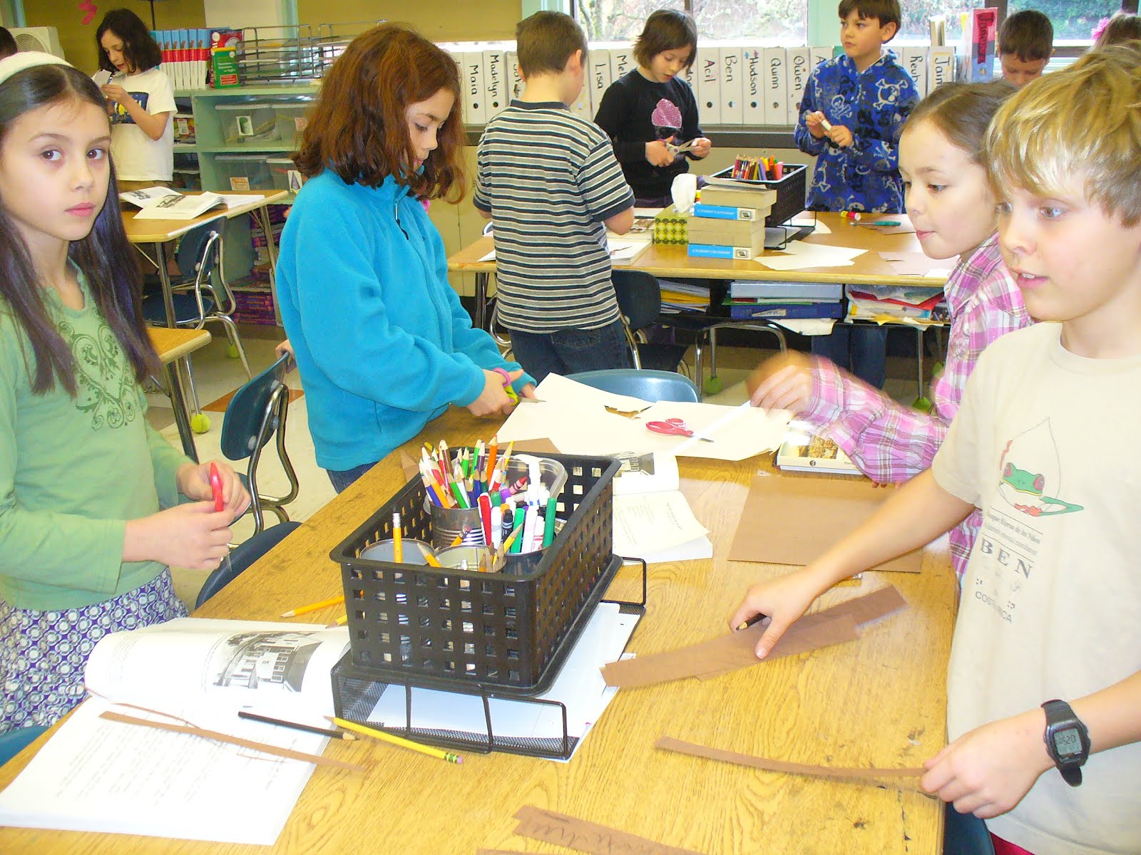
 We started building the new elements for the map.


The beginnings of downtown. There are also lots of stumps. The settlers cut down so many trees, and just left the stumps. The stumps had to be painted white so that people wouldn't trip over them.
 We also talked about the farms that stared springing up in the Tualaltin Valley. These farmers built a plank road to make it easier to bring food crops to the city and to the docs on the river for export. This road is now Canyon Road.
Here is how our map is looking right now. You can see that the area is quickly starting to look like a city.

No comments:
Post a Comment